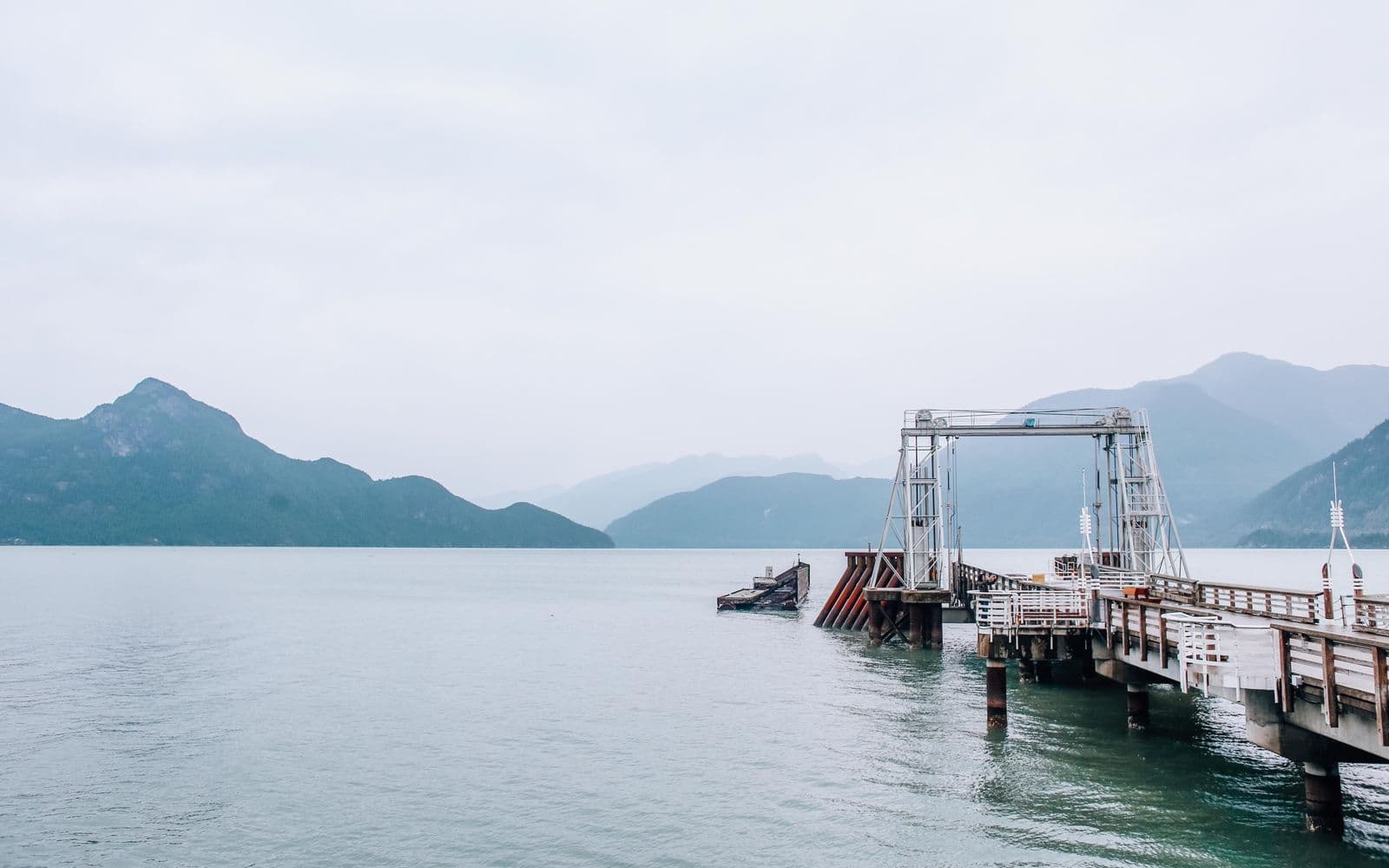
Vancouver Island has no bridge. You arrive by water or by air, and for most visitors that means BC Ferries with a car. The route you choose sets up your entire first day, so pick it when you plan the trip, not when the GPS asks which terminal.
Book the sailing that matches your base, reserve both ways in summer, arrive early once, and the ferry becomes the easiest part of the trip.
The mistake almost everyone makes
Visitors roll up to Tsawwassen on a sunny July Saturday, no reservation, assuming they'll drive on. Then they learn the 3:00 is full, and so is the 5:00, and now they're two sailings deep in a parking lot, watching the island sit there across the water. In summer and on long weekends, a vehicle reservation is the single thing standing between you and a wrecked afternoon. Friday afternoons heading over and Sunday afternoons coming back sell out first.
The second mistake is quieter: under-budgeting the whole operation. The crossing is only about an hour and a half, but check-in cutoffs, loading, unloading, and the drive on the far side turn any ferry day into roughly half a day. Plan around that number and nothing downstream breaks.
Three routes — pick by where you're headed
Three main car-ferry routes leave Metro Vancouver, and they land at different ends of a 456 km island. Choose by destination, not by whichever terminal is closest to breakfast.
- Tsawwassen to Swartz Bay — 1 h 35 m, lands 30-40 minutes north of downtown Victoria. The right call for Victoria, Sidney, Sooke, and anything South Island. It's also the prettiest of the three, threading the Gulf Islands through Active Pass.
- Horseshoe Bay to Departure Bay — 1 h 40 m, lands in Nanaimo proper. The standard start for Tofino, Ucluelet, Parksville, and everywhere north; handiest from Vancouver's North Shore and the Sea-to-Sky corridor.
- Tsawwassen to Duke Point — 2 h, lands just south of Nanaimo. Same mid-island purpose as Departure Bay, useful from south of the city, and it often has space left after Departure Bay sailings fill.
The gut check: Victoria trip, sail to Swartz Bay; everything else, sail to Nanaimo. Landing at the wrong end costs you the 111 km between Nanaimo and Victoria — about 1 hour 45 of driving you didn't plan.
What it costs and how reserving works
Budget roughly $100-120 each way for a car with two adults; exact fares change, so check before you book. Reservations open months ahead and cost more the later you commit, and the cheapest prepaid fares are the least flexible, so reserve both directions as soon as your dates firm up. Check in 45-60 minutes before the sailing — cut it too close and the reservation lapses and you're back in the drive-up queue.
Foot passengers can ignore all of it. Walk-ons don't sell out, and the connections are decent: from Swartz Bay, a city bus runs to downtown Victoria in about an hour. If you only need a car for part of the trip, walking on and renting on the island can beat two vehicle fares.
The other ways across
Coming up the Olympic Peninsula, the Coho sails from Port Angeles, Washington straight into Victoria's Inner Harbour. In a hurry, Harbour Air floatplanes and Helijet connect downtown Vancouver to Victoria and Nanaimo in about 35 minutes. And once you're on-island, remember the little Mill Bay-Brentwood Bay ferry: a 25-minute hop between the Saanich Peninsula and Cowichan that skips the Malahat entirely — a favourite local detour when the highway is jammed.
Do these three things before you leave
- Check the live sailing status on BC Ferries from your kitchen, not the parking lot. Sailings fill, run late, or get cancelled in wind, and the current-conditions page tells you which.
- Reserve the vehicle for July, August, weekends, and holidays, both directions. Off-season midweek, drive-up is usually fine.
- Pad the timeline. Terminal arrival cutoff, crossing, unloading, then the real drive — Swartz Bay to Victoria is short, but Nanaimo to Tofino is another three hours.
Plan with: BC Ferries | DriveBC | Black Ball Ferry Line (Coho) | Vancouver Island Travel. Last reviewed July 2026.